

|
|
|
|
|
|

 |
|
February 2009 Lake Condon - South Shore Part II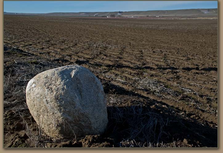
|
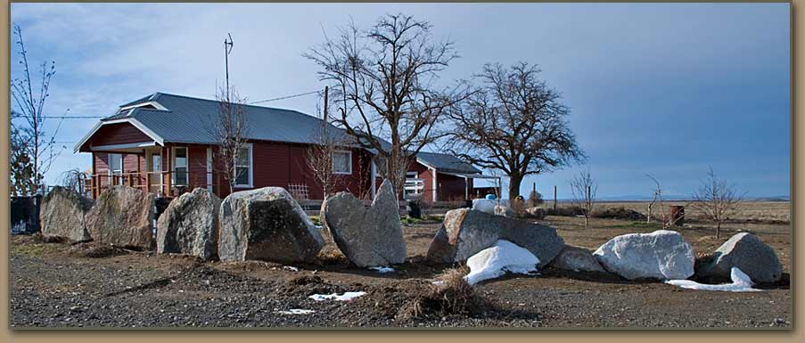
| Many of the Ice-rafted erratics stranded within Lake Condon's shorelines have been removed from fields and are now displayed along county roads. |
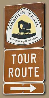
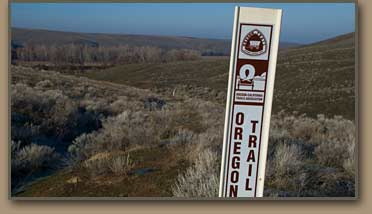
The tour route across the floor of Lake Condon, features trail markers placed by the National Park Service and several interesting interpretive displays. |
 |
 |
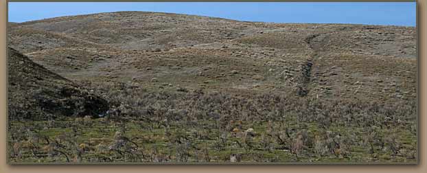
| Oregon Trail wheel ruts (right-center). Wheel ruts in Lake Condon deposits have been surveyed and marked by the National Park Service in several locations. |
Ice-Rafted erratics scattered over the otherwise featureless terrain must have seemed strange to those traveling the Oregon Trail. |
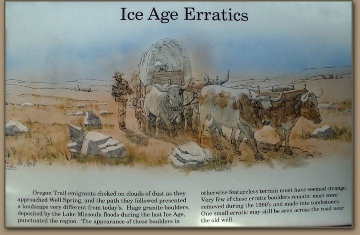 |
The immigrants traversed a variety of Ice Age Flood and windblown deposits in this area. "Traveled on about 5 miles after crossing the river. Road very sandy the heaviest I ever saw for so long a distance. Camped on the open prairie. No water....70 graves since leaving Ft. Boise." Cecelia Adams and Parthenia Blank, 1852 |
Well Spring ErraticErratic mentioned on panel above is pictured at right. This erratic sits in a handy location next to Well Spring. Numerous chip marks on this Ice Age feature lead one to believe that it may have been used as a work bench for on-the-trail repairs. | 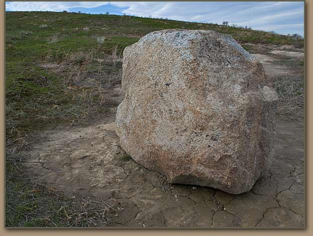 |


|
Large granite boulder resting near Cedar Springs Road in Alkali Canyon. The rock appears to have been moved to this location.
Note rings anchored to the side of boulder that may have been be used to tether stock. The Oregon Trail is very close to where this rock is located. Note from Tom:If anyone knows anything about this large erratic ... please send email ... Thanks! |
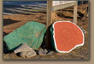
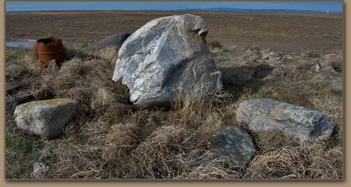
Flood tumbled basalt boulders are common in several locations around Hermiston, OR. These boulders are similar in shape to basalt boulders piled along the Snake River during the Bonneville Flood. The basalt boulders along the Snake River are known as melon gravels as they often resemble watermelons in size and shape. The fractured rock in this image has been painted to advertise the famous Hermiston melons. |
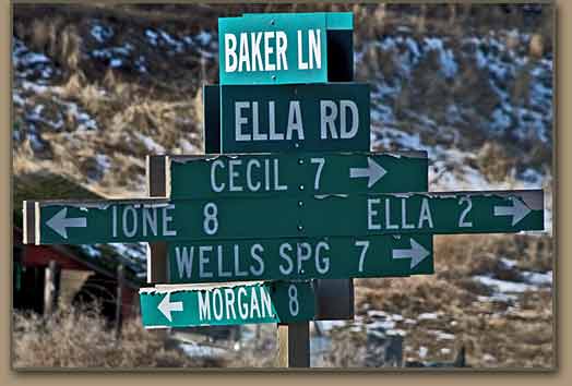 A map that includes at least a few of the sites noted on this post is recommended for those exploring the western Umatilla Basin.
|
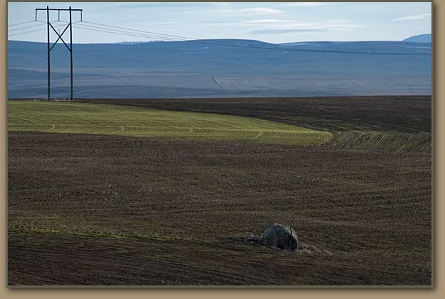
Picket RockAn Oregon Trail exhibit in Echo, Oregon tells the story of a soldier that hid behind this Ice Age Flood feature on November 22, 1855 to avoid detection by a group of Indians traveling nearby. Photo taken from I-84 eastbound(1.1 miles east of Exit 188). |
|
|
View Larger Map |
PICKET ROCK LOCATIONPicket Rock is visible in Google aerial image at left (Just above the two zeros in 2009 at bottom of image). Use your mouse to navigate using Google's controls. Picket Rock is located on private property. |
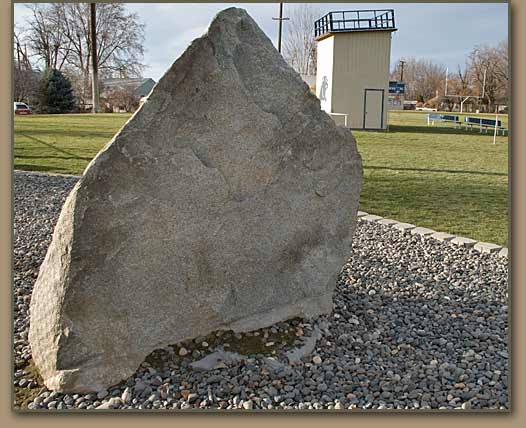 |
Spirit RockThe Echo Cougars moved this Lake Condon erratic to their football field as a memorial to a local football hero lost to cancer. The large ice-rafted erratic is now a source of inspiration to Echo athletes and known as "Spirit Rock". |
Click to Return:Lake Condon - South Shore Part I |
