
|
|
|
|
|
|


|
Express Tour - Section IIIIce Age Floodwaters Sweep Over Eastern Washington

|
FLOOD TORRENTS DRASTICALLY ALTER THE LANDSCAPE | |
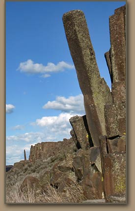
 Fractures in the basalt allowed floodwaters to rapidly remove material.
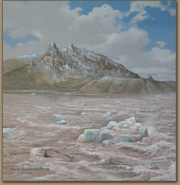
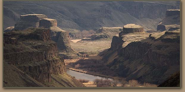
| Each ice dam failure released a torrent of water hundreds of feet deep, which swept southwesterly--gouging the huge coulees of eastern Washington, ripping out sediment and basalt rock, and stripping soil and vegitation from thousands of square miles of land in the Columbia Basin. Some of the debris was carried by the floods all the way to the ocean. One flood pathway created the Grand Coulee. A second poured into the lowlands around Ephrata, Moses Lake and Othello. A third flowed along the western fringe of the Palouse Hills, removing vast amounts of fertile topsoil. More than 2,000 squre miles of so-called "scablands" were created. Each flood episode added to the impact. |

| |
|
In his book "On the Trail of the Ice Age Floods", Geologist Bruce Bjornstad explains the creation of Rock Basins and Potholes: "Fast-moving floodwaters passing through scabland channels further gouged into the basalt, scouring out rock basins and augering deep holes into basalt. Like a powerful vacuum cleaner, floodwaters actually sucked up all the loose material off the land surface, including huge columns of basalt, taking advantage of any weakness in the rock, such as fractures." |
WALLULA GAP STEMS THE DELUGES TEMPORARILY | |
 | The Lake Missoula floods overwhelmed everything in their path until they reached the choke point at Wallula Gap in the Horse Heaven Hills range south of Pasco, Wash. Floodwaters backed up throughout the Pasco Basin and Yakima and Walla Walla valleys. The result was a temporary impoundment known as Lake Lewis, which existed for only a few days after each major flood episode. During its brief existences Lake Lewis put 3,000 square miles of land under water, and the lake was more than 800 feet deep in Pasco. |
Ice Age Floods Express Tour: Continue | ||||

